
 1300 319 954


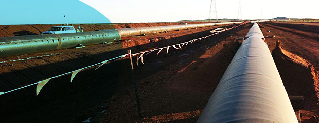
Geographic Information Services (GIS) mapping provides a useful backing for field surveys and reporting. In addition, data analysis can be carried out to gain an understanding of species distributions, location correlations and density hot spots.
Our wide range of services include, but are not limited to;
- Vegetation community mapping
- Mapping calculations and assessments to determine Ecological Equivalence
- Rehabilitation area mapping
- Mapping of significant flora and fauna
- Data analysis